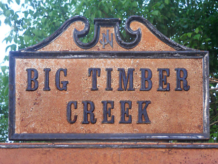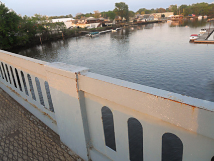


Crossing at Big Timber Creek
Broadway, near Creek Rd.
Map / Directions to the Crossing at Big Timber Creek
British forces occupied Philadelphia from September 26, 1777 until June 18, 1778. It was during this time that the British sent Hessian troops to attack Fort Mercer, an American Fort on the Delaware River in what is now National Park. (Hessians were German mercenary soldiers hired by the British to fight in the Revolutionary War.)
On October 21, 1777, Hessian troops under the command of Colonel von Donop crossed the Delaware River into New Jersey, landing in Cooper's Ferry (now Camden). They marched to Haddonfield, where they camped for the night.
The following morning, they marched southwest towards Fort Mercer. In order to reach Fort Mercer, the Hessians needed to get across the Big Timber Creek. They marched to this location where a bridge was located. However, they found that the bridge here had been dismantled by American forces with the intention of impeding the approach of the Hessians.
In our modern world, roads cross rivers and streams at so many points that we usually take little notice of them when driving over them, and often barely think of them as bridges. However, in the 1770's, there were much fewer bridges, and so if one bridge was down, it could create a major detour to get to the closest one. In this case, the dismantling of the bridge at this location caused the Hessians to march an additional eight to ten miles, and cross the Big Timber Creek at the nearest crossing, the Clement's Road Bridge.
Later that day, the Hessians made their attack on Fort Mercer, in what became known as the Battle of Red Bank. They were defeated and returned to Philadelphia. The site of Fort Mercer is now Red Bank Historical Park. [1]
There are no historical markers at the modern bridge at this location, which stands in the area where the bridge in 1777 stood. However, there is a historic sign at the Clement's Road Bridge.

1. ^ Samuel Stelle Smith, Fight for the Delaware, 1777 (Monmouth Beach, N.J.: Philip Freneau Press, 1970) Pages 18-23.
This includes the map on page 20, which traces the route taken by the Hessian troops. The book states that the map was "based largely on the extensive road research of Mr. Harry Marvin of Mullica Hill, N.J."
▸ The map is also reproduced on the "Fort Mercer is Attacked" sign at the Red Bank Historical Park.• For more information about the events mentioned in this paragraph, see the town pages linked from within the text.